scroll right and left

scroll right and left

View the original aerial map


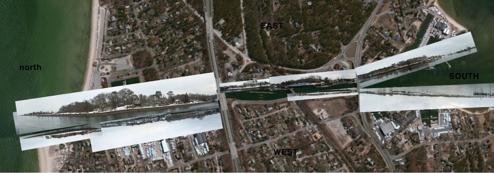
Click 
to see an enlarged street level photo,

made February 2015, of the area aligned to the map.


You can make your Sketch over a print of the photos or maps.


Photograph_aligned_to_Google_Map_northeast_peconic_2.html
Photograph_aligned_to_Google_Map_east_canal.html
Photograph_aligned_to_Google_Map_east_canal_2.html
Photograph_aligned_to_Google_Map_west_canal_1.html
Photograph_aligned_to_Google_Map_south_west_canal.html
Photograph_aligned_to_Google_Map_west_canal.html
Photograph_aligned_to_Google_Map_northwest_canal.html
Photograph_aligned_to_Google_Map_northeast_peconic_meshutt.html
Photograph_aligned_to_Google_Map_northwest_peconic.html
Photograph_aligned_to_Google_Map_south_east_canal.html
Photograph_aligned_to_Google_Map_northwest2_canal.html
sketches 
of 
local history:
Shinnecock Canal Canoe Place
 40°53′15″N 72°30′5″Whttp://viewer.nationalmap.gov/viewer/?q=40.8875,-72.501389home_index.htmlshapeimage_13_link_0
sketches 
of 
local history:
Shinnecock Canal Canoe Place
 40°53′15″N 72°30′5″Whome_index.html

copyright2015 Hope Sandrow

Photograph_aligned_to_Google_Map_south_east_canal_2.html
Photograph_aligned_to_Google_Map_northeast_canal.html