imagine:

your landscape of the Shinnecock Canal Canoe Place


or select a topographical template for your Sketch of the Shinnecock Canal Canoe Place

by utilizing the app Peakfinder

to make a print to draw on. The line drawings are generated from a google aerial mapping of the area programmed by Peakfinder developer Fabio Soldati.

How:  Visit Peakfinder site at the link below and generate your own template

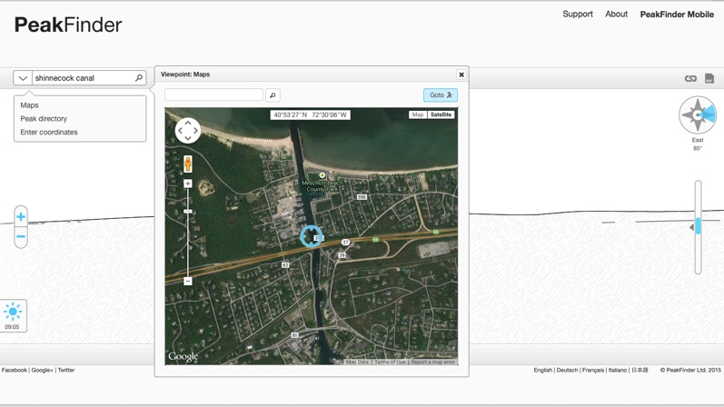
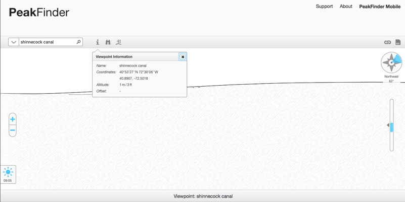
by following the examples shown:  (left)  1) enter  your peak as “shinnecock canal “;  2) experiment with the tools, such as (left, top) selecting “maps” in the pull down menu (note “goto” above satellite image and/or  change  direction (upper right from EAST SOUTH WEST NORTH and combinations of )   then click on the upper right symbol “pdf” to download your templates to save to your computer and print.


Or make screen grabs of your online  “drawing”  if you have an utility app in your computer


Or  print from my pdf download:  PeakFinder_N040.8875_W072.5014-2.pdf


Where: http://www.peakfinder.org/?lat=40.8875&lng=-72.5014&ele=1&name=Shinnecock%20Canal&zoom=5&dir=20


click here to return to 
project index page../home_index.html

use a template to imagine your  Sketch of the Shinnecock Canal Canoe Place

sketches 
of 
local history:
Shinnecock Canal Canoe Place
 40°53′15″N 72°30′5″Whttp://viewer.nationalmap.gov/viewer/?q=40.8875,-72.501389../home_index.htmlshapeimage_2_link_0
 
 
Blog Summary Widget

Sampled Peakfinder Templates for sketching - Elevation drawings East (above), South, West, North

copyright2015 Hope Sandrow