Now 375th anniversary of Southampton Town


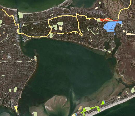
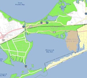
Select: “Trail Info: Paumonock Path (yellow) , Public Lands (light green; beige Southampton Town; blue NY State), Parks and Protected Lands (light green)

scroll right
The Dongan Patent, displayed on the walls of the Town Board Public Room, remains the governing law since its decree in 1686. “The patent, a document which granted the Freeholders and Commonalty of the Town of Southampton access and rights to common underwater land, rights of way to the water, marshland, and common areas, also created the Board of Trustees to act as stewards for these title lands.”
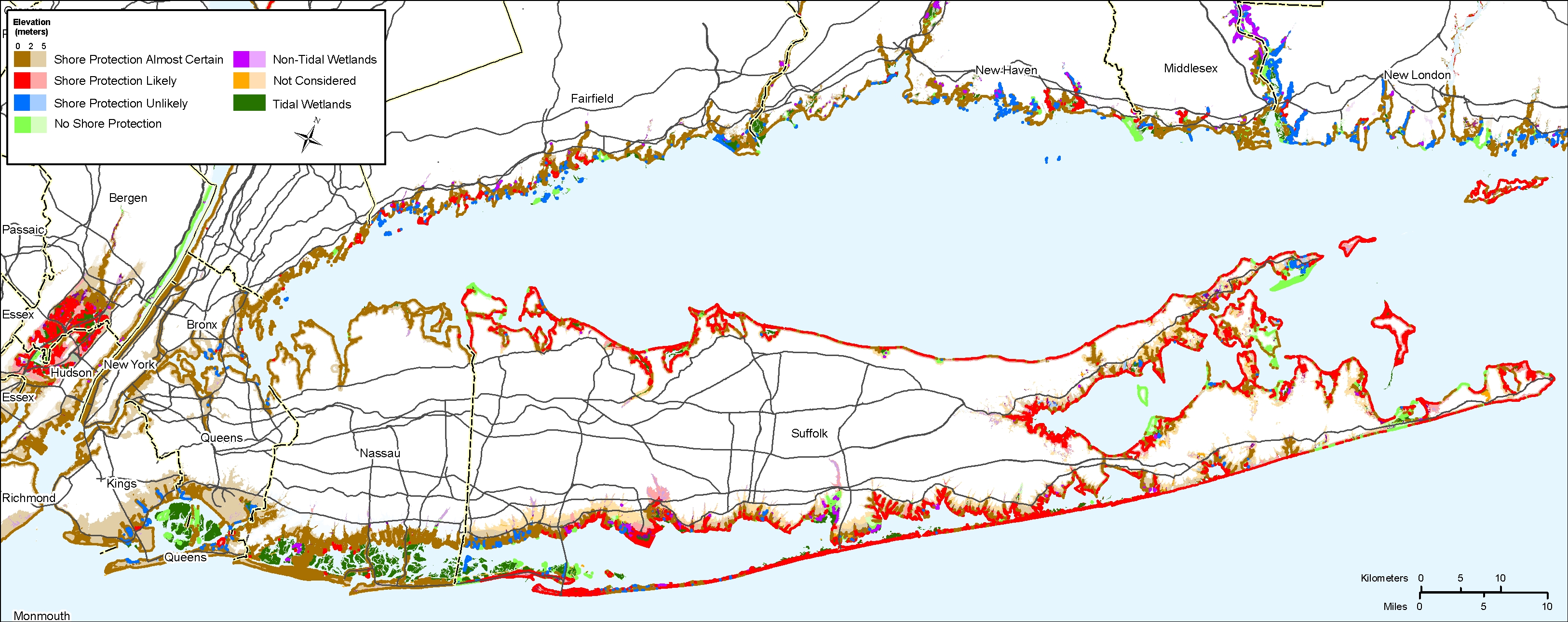
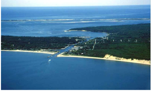
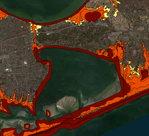
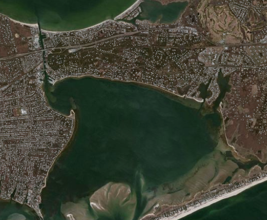
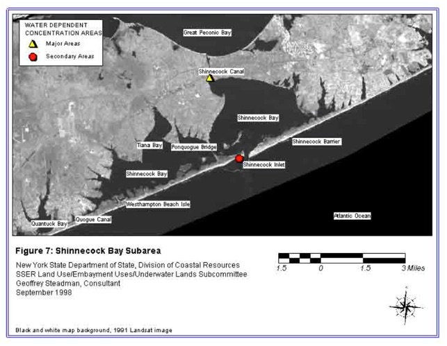
As I write, pressure for new development along the shores of the Shinnecock Canal increases - despite facts on the ground (view Town maps - right ) that indicate density threatens the very natural resources that define our Town’s character. There are also deteriorating conditions in the two Bays the Canal links, Shinnecock and Peconic, that impact the watershed of the South Shore Estuary Reserve (SSER) Watershed. The Canal is also located within the Peconic Estuary Critical Environmental Area, which mandates setbacks of 50 - 100ft form the water’s edge, wetlands and 500 ft from the Peconic Bay.
Factors that should be considered in your Sketch, because the quality and health of the waters are vital to Our future You are picturing. And Our drinking water. Replanting native flora, including salt marshes, and following setbacks mandated by Code and Law are a proactive medium for revitalization of the Canal area zoned for Public Recreation and Access, Hotel and Restaurants. Development proposals submitted to theTown Board for approval are judged by Town Plans, Codes and Standards that (could) play an important part in your (re)imagining the land and seascape.
copyright2015 Hope Sandrow
read:
the Shinnecock Canal: Town of Southampton Water Protection Plan Draft Part II February 2015
Maritime Centers of the South Shore Estuary Reserve 2-69 SHINNECOCK CANAL
Town of Southampton Coastal Erosion Hazard Area Law: excerpt “B. Regulate, in coastal areas subject to coastal flooding and erosion, land use and development activities so as to minimize or prevent damage or destruction to man-made property, natural protective features and other natural resources, preserve public access and use of the beaches, and to protect human life.