The sands, gravels, muds and boulders of Long Island are the terminal moraine of a glacier, more then a mile in depth, on the Hudson River during the last ice age. The remaining porous sediments retain meltwaters, rain and snow, that permeate ground level layers. (United States Geological Study, 1914.) Excerpt, The Evolution of Long Island; a Story of Land and Sea, 1921, page 22”:“Though the murmurs of the primeval forests have given place to the noise of the cities, the play goes on. Though civilized man have lived upon the island for nearly three hundred years, the wind still drives the dunes, the streams still carry the hills to the sea, and the ocean still carves and remakes the shores at will”.

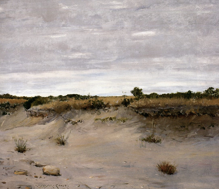
William Merritt Chase
Wind-Swept Sands 1894
Oil 34 1/4 x 39 3/4 in. Art Institute of Chicago
left, view enlarged photograph of Shinnecock Canal at “early stage of development”
Preserving the natural landscape, by following the mandate outlined in Town Comprehensive Plans, during this time of pressure for private development is key to preserving our community’s character. Especially along the waters edge where Codes mandate setbacks and Public Access (Dongan Patent, 1686, displayed in Town Board Room).
Development proposals that effect or alter natural terrain and/or native flora require (by law) special consideration within the Peconic Estuary that includes the Shinnecock Canal and two bays it links. This area is vital as natural habitat; filtering ground water for drinking is vitally important to those like us who draw water from wells at our homes. And controlling erosion as outlined in N.Y. TWN. LAW § 272-a: NY Code - Section 272-A: Town comprehensive plan for the Town Board to follow.
For example, reasons a development (Westwoods), on lands of similar nature adjacent to the Canal, was denied: “Excerpt:“*33 ... the coastal bluff, one of the unique and sensitive environs that contribute to the overall community character of the Town... (S125, at 10; Tr. 1842.) Proposed development along the waterfront area within the Town is reviewed by the Town for consistency with these local community waterfront objectives. (S125, at 10.) Soils underlying Westwoods are part of the Plymouth-Carver soil association. Characteristic of the Pine Barrens, the Plymouth-Carver soils are distinguished by their coarse texture, which allows for rapid permeability. (S125, at 11.) The soils at Westwoods and their underlying geology allow for a renewable source of fresh ground water, which recharges the aquifer through percolation of rainwater or snowmelt, which is an important characteristic for an area served by a ground-water-based sole source for the municipal water supply system. (S125, at 11.)” . (g) significantly increased erosion potential due to regrading, vegetative clearing, and an increase in storm water runoff resulting from the creation of impervious surfaces (e.g., rooftops, parking lots, sidewalks, and roads); (h) in full development of property, adverse impacts on the surrounding residential neighborhoods from eroding soils, sediment transport, increased storm water runoff, and localized flooding.....
copyright2015 Hope Sandrow